Analisis Faktor-Faktor Erosi Tanah, Dan Tingkat Bahaya Erosi Dengan Metode Rusle Di DAS Wai Batu Merah Kota Ambon Provinsi Maluku
Abstract
The study was conducted in July-October 2016 in the Wai Batu Merah Watershed, Ambon City, Maluku Province with an area of ​​685.14 ha covering the Village of Batu Merah and parts of Soya Village. This research was carried out with the aim of 1) determining the factors that affect erosion, 2) determining the amount and level of soil erosion hazard, 3) determining the direction of land rehabilitation that is suitable for controlling erosion. The research method is a survey method with a synthetic and analytic approach with flexible observation distance based on land units. The method of determining the amount of erosion is based on the RUSLE method (Renard et al., 1997) and the erosion hazard level based on FAO criteria (FAO, 1979) in Ponce-Hernandez (2004). The results found are 1) Factors affecting erosion in the Wai Batu Merah watershed are rainfall erosivity (R), soil erodibility (K), topography (LS), vegetation (C), soil conservation practice (P). Annual rainfall erosivity factor = 2419.03 ton.m/ha/cm-rain. For monthly erosivity, the highest erosivity in July is 537.34 ton.m/ha/cm-rain, followed by June at 526.03 tons.m/ha/ cm-rain. The soil erodibility factor is classified as very low, medium and rather high. Soils with a rather high erodibility level are Thapto-Histic Hydraquents with a K value of 0.380 classified as a rather high class. This means that if other erosion factors are in identical conditions, the potential for land degradation due to erosion in this soil is higher than other soils in the study area. While the low erodibility level is Lithic Udorthents and Typic Fluvaquents with K values ​​of 0.175 and 0.178, respectively. This indicates that these lands are more resistant to land degradation due to erosion compared to other lands in the Wae Batu Merah watershed. The lowest LS factor value is in land units that have a slope of 0-3% and 3-8% with an LS value of 0.25. In land units that have a slope of 8-15%, the LS value is 1.2, in land units with a slope of 15-30%, the LS value is 4.25, and the land unit with a slope of 30-45%, has an LS value of 9.50; while land units that have a slope of 45-65% and> 65%, the LS value is 12.0, as well as the highest LS value in all land units. Vegetation factor or soil management factor with certain plants is settlement value C = 1; scrub with a value of C = 0.3; and secondary dryland forest with a value of C = 0.005. While the P value for all land units is 1.00 because there is no found soil conservation action practiced in the Wae Batu Merah watershed. 2). The amount and level of erosion that occurred at the study site was erosion in the classification of slight, moderate, high and very high. The level of severe erosion has an average erosion of 2326.56 tons/ha/year covering an area of ​​297.06 ha or 43.36% and is the largest erosion. High erosion rates have an average erosion of 142.1 tons/ha/year covering 249.05 ha or 36.35%. Moderate erosion rates have an average erosion of 30.58 tons/ha/year covering 94.58 ha or 13.8%. While the level of slight erosion has an average erosion of 5.28 tons/ha/year covering an area of ​​44.45 ha or 6.49% of the total area of ​​the study area and is the narrowest level.
Keywords: amount and level of erosion, erosion factors, Wai Batu Merah watershed
ABSTRAK
Penelitian dilaksanakan pada bulan Juli-Oktober 2016 di DAS Wai Batu Merah Kota Ambon Provinsi Maluku dengan luas 685.14 ha yang meliputi Negeri Batu Merah dan sebagian Negeri Soya. Penelitian ini dilaksanakan dengan tujuan: 1) menetapkan faktor-faktor yang mempengaruhi erosi; 2) menetapkan besar dan tingkat bahaya erosi; dan 3) menentuan arahan rehabilitasi lahan yang sesuai untuk mengendalikan erosi. Metode penelitian adalah metode survey dengan pola pendekatan sintetik serta analitik dengan jarak observasi fleksibel berdasarkan unit lahan. Metode penentuan besar erosi adalah berdasarkan metode Revisi USLE (Renard et al., 1997) serta tingkat bahaya erosi berdasarkan kriteria FAO (1979) dalam Ponce-Hernandez (2004). Hasil ditemukan adalah: 1) Faktor-faktor yang mempengaruhi erosi di DAS Wai Batu Merah adalah erosivitas hujan (R), erodibilitas tanah (K), topografi (LS), vegetasi (C), tindakan konservasi tanah (P). Faktor erosivitas hujan tahunan = 2419.03 ton.m/ha/cm-hujan. Untuk erosivitas bulanan, maka erosivitas tertinggi pada bulan Juli memiliki yaitu sebesar 537.34 ton.m/ha/cm-hujan, kemudian diikuti oleh bulan Juni sebesar 526.03 ton.m/ha/cm-hujan. Faktor erodibilitas tanah tergolong tingkat sangat rendah, sedang dan agak tinggi. Tanah-tanah dengan tingkat erodibilitas agak tinggi adalah Thapto-Histic Hydraquents dengan nilai K sebesar 0,380 tergolong klas agak tinggi. Ini berarti bahwa bila faktor-faktor erosi lain berada dalam kondisi yang identik, maka potensi terjadinya degradasi lahan akibat erosi pada tanah ini lebih tinggi dibandingkan dengan tanah lainnya di daerah penelitian. Sedangkan tingkat erodibilitas rendah adalah Lithic Udorthents dan Typic Fluvaquents dengan nilai K masing-masing 0,175 dan 0,178. Hal ini mengindikasikan bahwa tanah-tanah tersebut lebih resisten terhadap degradasi lahan akibat erosi jika dibandingkan dengan tanah lainnya di DAS Wae Batu Merah. Nilai faktor LS terendah yaitu pada unit lahan yang memiliki kemiringan lereng 0-3% dan 3-8% dengan nilai LS sebesar 0,25. Pada unit lahan yang memiliki kemiringan lereng 8-15%, nilai LSnya adalah sebesar 1,2, pada unit lahan dengan kemiringan lereng 15-30%, nilai LSnya adalah sebesar 4,25, dan unit lahan dengan kemiringan lereng 30-45%, memiliki nilai LS sebesar 9,50; sedangkan unit-unit lahan yang memiliki kemiringan lereng 45-65% dan > 65%, nilai LSnya sebesar 12,0, sekaligus sebagai nilai LS tertinggi pada seluruh unit lahan. Faktor vegetasi atau faktor pengelolaan tanah dengan tanaman tertentu adalah permukiman nilai C = 1; semak belukar dengan nilai C = 0.3; dan hutan lahan kering sekunder dengan nilai C = 0.005. Sedangkan nilai P untuk semua unit lahan adalah 1.00, karena belum ada tindakan konservasi tanah yang dipraktekan secara baik di DAS Wae Batu Merah. 2). Besar dan tingkat bahaya erosi yang terjadi di lokasi kajian adalah erosi dengan kategori ringan, sedang, berat dan sangat berat. Tingkat bahya erosi sangat berat memiliki erosi rata-rata sebesar 2326.56 ton/ha/thn seluas 297,06 ha atau 43,36%, dan merupakan erosi terluas. Tingkat erosi berat memiliki erosi rata-rata sebesar 142.1 ton/ha/thn seluas 249,05 ha atau 36,35%. Tingkat erosi sedang memiliki erosi rata-rata sebesar 30.58 ton/ha/thn seluas 94,58 ha atau 13,8%. Sedangkan tingkat erosi ringan memiliki erosi rata-rata sebesar 5.28 ton/ha/thn seluas 44.45 ha atau 6,49% dari total luas daerah penelitian, dan merupakan tingkat tersempit.
Kata kunci: besar dan tingkat bahaya erosi, das wai Batu Merah, faktor erosi tanah
Downloads
References
Anthony, F.J. 2001. Soil Erosion and Conservation. Seafriends Marine Conservation and Education Centre. 7 Goat Island Rd. Leigh R.D.5. New Zealand.
Arsyad, S. 2006. Konservasi Tanah Dan Air. Departemen Tanah Fakultas Pertanian IPB. IPB Press. Bogor.
FAO. 1999. New Concepts and Approaches to Land Management in The Tropics with Emphasis on Steeplands. FAO Soil Bulletin 75. Land and Water Publication Series. Land and Water Development Division.
Manik, K.E.S., Afandi, dan S.B. Yuwono. 1996. Karakterisasi beberapa sub-sub DAS Kuripan Kotamadya Bandar Lampung. Jurnal Tanah Tropika Tahun II No. 2. hal 94-99.
Morgan. 1993. Soil Erosion and Conservation. Longman Scientific and Technical. John Wiley and Sons. New York.
Ponce-Hernandez. 2004. Assessing Carbon Stock and Modelling Win-Win Scenarios of Carbon Sequestration through Land Use Changes. Land and Water Development Division.
Renard, K.G., G.R. Foster, G.A. Weesies, D.K. McCool, and C.D. Yoder. 1997. Predicting Soil Erosion by Water: A Guide to Conservation Planning with the Revised Soil Loss Equation (RUSLE). U.S. Department of Agriculture, Agriculture Handbook No. 703, 384 pp.
Schwab. G.O., Richard. Frevert, Talcott. W. Edminster, Kenneth. K. Barnes. 1981. Soil and Water Conservation Engineering. Third Edition. John Willey and Sons New York. Chichester. Brisbone Toronto.
Symeonakis. E, S. Koukoulas, A. Calvo-Cases, E. Arnau-Rosalen, and I. Makris. 2004. A Landuse Change and Land Degradation Study In Spain and Greece Using Remote Sensing and GIS. Departamento de GeografÃa, Universidad de Valencia, Av. Blasco Ibáñez 28, Valencia 46010, Spain - Dept. of Geography, University of the Aegean, Mytilene 81100, Greece.
Talakua, S.M. 2016. Degradasi Lahan Metode Analisis dan Aplikasinya dalam Penggunaan Lahan. Plantaxia. Yogyakarta.
Talakua, S.M. dan M.W. Talakua. 2006. Evaluasi Kerusakan Tanah Dan Cara Pengendaliannya Di Daerah Aliran Sungai Wae Riuapa Kecamatan Kairatu Propinsi Maluku. Laporan Penelitian Dosen Muda. Fakultas Pertanian. Universitas Pattimura.
Talakua, S.M. 2009. Pengaruh penggunaan lahan terhadap kerusakan tanah karena erosi di Kecamatan Kairatu Kabupaten Seram Bagian Barat Provinsi Maluku. Jurnal Budidaya Pertanian 5: 27-34.
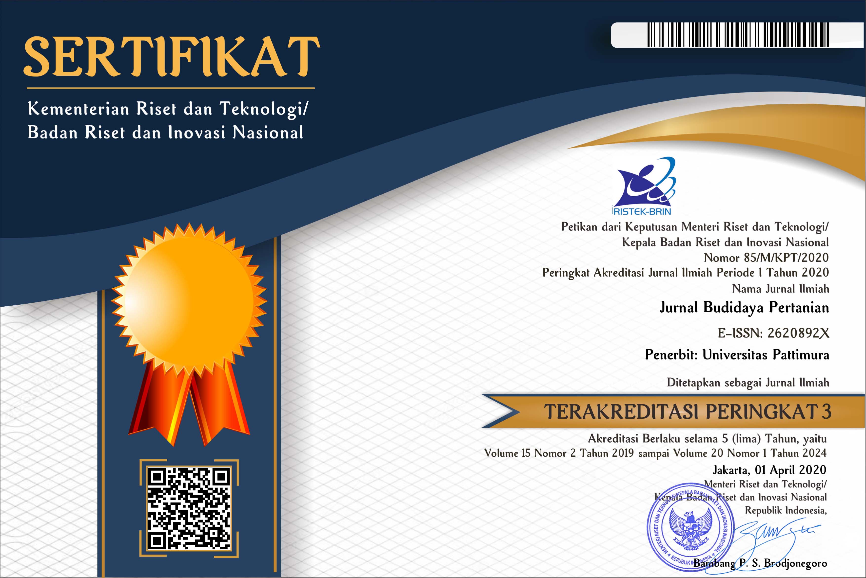 Accreditation is valid for 5 years, starting from Volume 15 Issues 2 December 2019 up to Volume 20 Issue 1 June 2024.